


Spindle Point Gallery

Above, circa 1881 engraving by J. Warren Thyng, who wrote in his Lake-Country Sketches, “The engraving suggests the composition of one view. The three prominent peaks are Ossipee, Chocorua, Paugus; each characteristic in itself, and pictorially related to the other. The dark, wooded island, under Ossipee, is Stonedam; against it, in sharp contrast, is Isle Margaret; a little nearer is Eagle Island; distant, under the light-blue hills of Effingham, is Long Island; the point jutting into the lake, on the extreme right, is Davis’s Island. Wonnalancet’s Arrow comes into the picture on the left. The steamer, returning from Centre Harbor, is approaching her landing. The foreground is a bit of field just below Winnecoette.”
Thyng’s text suggests that the original name for Spindle Point was Wonnalancet’s Arrow. Other name changes to come were Pitchwood Island, instead of Isle Margaret; and Governor’s Island, instead of Davis’s Island.
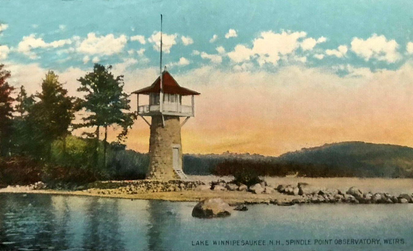
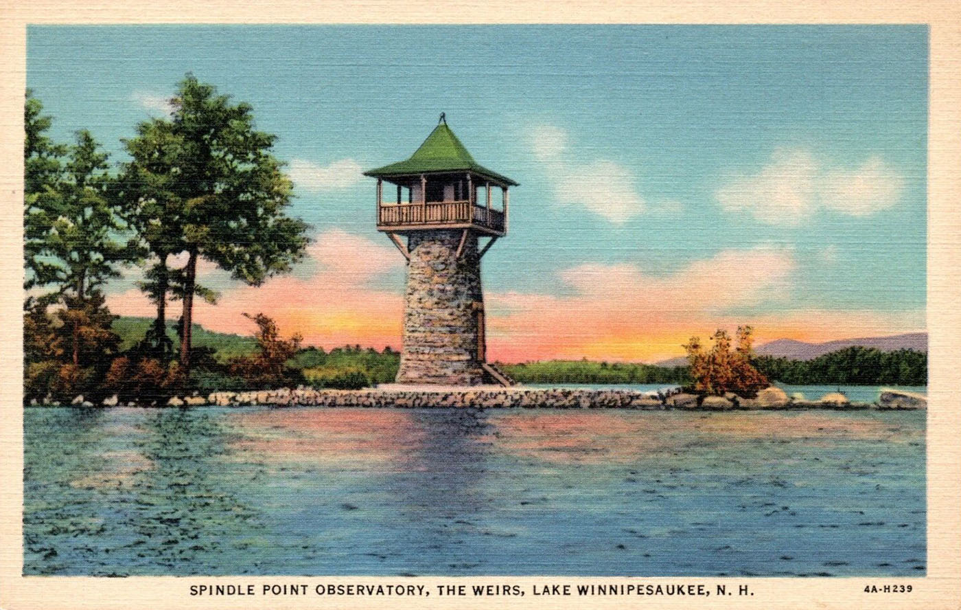
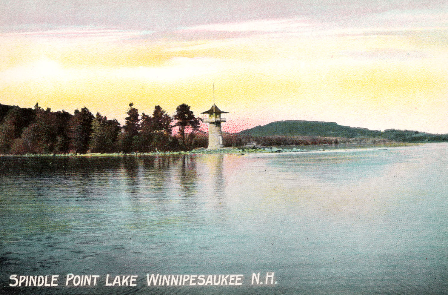
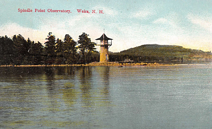
The name Spindle Point derived from a nickname for Meredith. In the late 1800s, from 1876 until it burned down in 1889, the largest employer in town was Sam Hodgson’s hosiery mill, hence the nickname “Spindle City”. The Spindle Point lighthouse was built only 3 years later after the fire, in 1892.


Click here to purchase a 2003 boat show poster of Spindle Point by artist Peter Ferber, “Spindle Point Fly-By”.

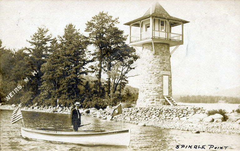
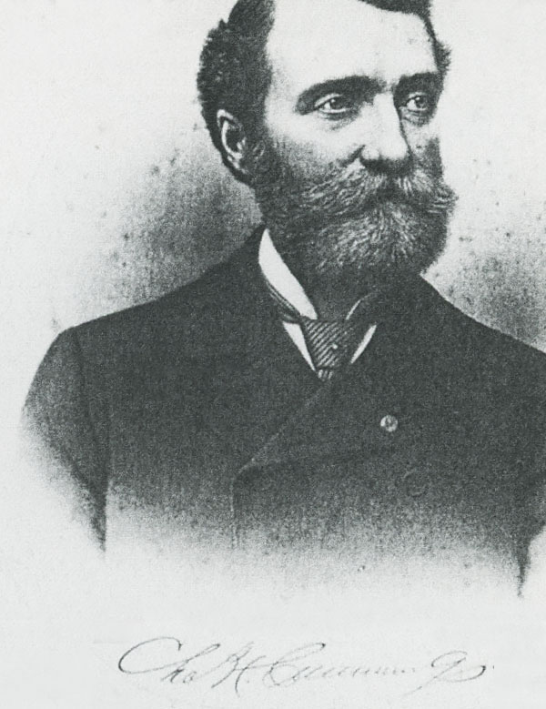
A “real photo” postcard of Spindle Point. The name of the owner/builder, Charles H. Cummings, is seen over the doorway.

A circa 1880s view of the lake by the photographer Moulton shows Spindle Point. Taken from the vicinity of the Winnecoette hotel.

More Kilburn Stereoviews
Here’s a view of Spindle Point circa 1869. It was the last in a short series of seven Kilburn stereoviews of the Weirs Beach area beginning with No 350 and ending with this photo, No 356. Note the total lack of development at this time. No buildings can be seen anywhere in the photo.

No 350: Lake Winnipisseogee From the Weirs (see webpage Weirs Beach’s Original Train Station)
No 351: Lake Winnipisseogee From the Weirs (see webpage Weirs Beach’s Original Train Station). As is typical of Kilburn, cards were sometimes reissued with a completely different photo, but the same series number. Below is a different No 351, with a view of Spindle Point. The train station view was the more common No 351.


No. 354: Lake Winnipiseogee.

No 353: Lady of the Lake (see webpage Weirs Beach’s Second Train Station. Scroll all the way down.)
No 354: Lake Winnipisseogee (see above)
No 355: Lake Winnipisseogee (see webpage Weirs Beach’s Second Train Station. Scroll all the way down.)
No 356: Lake Winnipisseogee (see above)
Below, a circa 1890 cyanotype view of Spindle Point

Here is a photo of Spindle Point, taken from the top of Brickyard Mountain on April 24, 2013, before recent development. On the far left of the photo, in the sunlight, there was a bench where one could sit and admire the view. In the left foreground, the remains of an old stone fireplace are seen. There was a house in this location in the 1950’s-1960’s.
Development has since taken place atop the mountain, with several houses now occuping the empty lot in the photo.

A view of Spindle Point taken from Brickyard Mountain in the 1960s.
